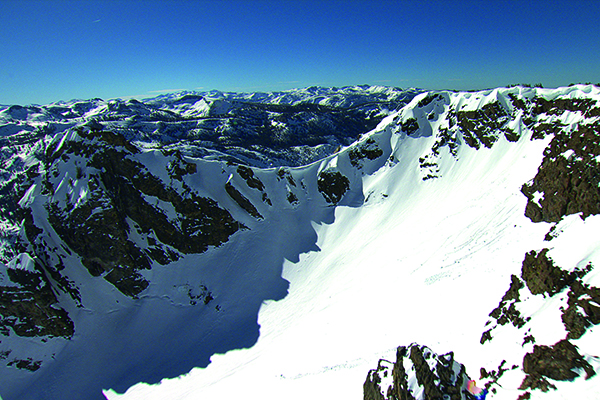
ASO technology is an aerial snow monitoring tool that provides precise measurement of depth and water content for every square meter of snow in a watershed that, when combined with conventional snow surveys, provides a near-perfect picture of snow water content. The technology measures snow depth and water content using an airplane-mounted light detection (LiDAR) instrument coupled with an imaging spectrometer.
In 1929, the State of California initiated a novel water supply forecasting program that relied on measurements of snow in select locations to predict spring and summer runoff into the state’s reservoirs. This investment was motivated by the “Tahoe Water War,” where the forecasting techniques helped end the long-standing litigation over operation of Lake Tahoe by reducing errors and professional judgment in reservoir operations. Today, this forecasting technique has matured into an indispensable tool for balancing the operations at California’s major reservoirs for the benefit of our economy, environment, and public safety. The snow program currently includes 359 monitoring locations that span the watersheds of the Sierra Nevada and Trinity Alps.

Conventional snow surveys have served an indispensable role in California water management for almost a century, but the state has also changed dramatically over the same period. The demand for water has grown along with the population, which has doubled in the past 40 years alone. We have altered our landscape, with urban and suburban growth replacing floodplains. Changes in social values have required that reservoirs be operated not just for people, but also for downstream species and habitat. With the implementation of the Sustainable Groundwater Management Act, highly precise infrastructure operations will be required to maximize groundwater recharge. Finally, the climate appears to be changing in ways that further strain the state’s water resources and how we manage them.
As a result of these changes, mistakes in water management have become more expensive than ever. The conventional snow survey and forecast methods rely heavily on professional judgment and extrapolation with a large margin for error because they use a few point locations to estimate water held in tens of thousands of square miles of snow cover. In the past, water managers have hedged imperfections in the surveys by over- or under-estimating water forecasts to avoid flood damage or shorting deliveries. These once-acceptable practices have begun to pose problems for meeting demands of our urban, agricultural, and environmental water users.
ASO technology was developed at the NASA Jet Propulsion Laboratory to map the snow water equivalent (i.e. the volume of water stored as snow) and snow albedo (i.e. the reflection of incoming radiation) completely and accurately across mountain basins. ASO measures snow depth and snow reflectivity using plane-mounted light detection and ranging (LiDAR) technology. LiDAR is similar to radar but relies on near-infrared light to measure the distance of objects. Because the measurements are being taken continuously overhead through a wide geographic area, ASO is similar to putting a snow depth sensor in every square meter of snow in the mountains. When data obtained through the ASO surveys are combined with computer-based snowmelt models, they can provide runoff forecasts for up to 10 days in the future for entire seasons for any point on a river.
No matter what type of hydrologic year California is experiencing – wet, normal, or dry – in addition to water supply and flood forecasting, ASO is useful for assessing many on the ground conditions that support forest health, fire management and recreation.
Throughout the year, and especially in the winter and spring, flood managers apply their professional judgment to information about snow and runoff in upper watersheds to determine when and how much flood space will be needed in reservoirs to protect public safety. By providing more precise and accurate data, ASO helps eliminate this “guessing game” and:
Water supply allocations are frequently delayed as water managers cast dubious eyes on conventional snow pack measurements. Highly precise and accurate ASO data can allow for:
Data from ASO can also provide value to California through: