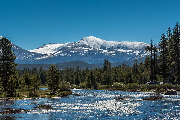
ASO technology is an aerial snow monitoring tool that provides precise measurement of depth and water content for every square meter of snow in a watershed that, when combined with conventional snow surveys, provides a near-perfect picture of snow water content.

Disclaimer
Warning: River flows could rise or fall quickly at any time. Please read the terms and conditions below before making judgments based on this information.
“River Forecast(s)” as used herein shall mean Tuolumne River data, information, observations, forecasts or predictions created, generated or produced by the Turlock Irrigation District (“TID”), its employees or authorized representatives, and are provided, delivered or recorded in whatever form, manner or medium including, without limitation, written, electronic or oral, and all copies of thereof. River Forecast shall include without limitation present or expected weather, climatic and environmental events, or flow releases or conditions that occur within the Tuolumne River watershed, the river itself, and any floodplains and lands adjacent thereto.
By use of any River Forecast, the user agrees that all River Forecasts shall be used solely and exclusively by the user, the user’s company, department or agency, the user’s employees, officers, directors, agents, consultants, and authorized representatives of the user.
The user agrees that at all times the River Forecasts shall remain the sole and exclusive property of TID and shall be free from any claim or right, license, title or interest by the user.
The user acknowledges and agrees that the River Forecasts accessed and viewed by You are wholly advisory in nature and all actions and judgments taken by the user with respect to the River Forecasts are the user’s sole responsibility. Although TID has no reason to believe that its River Forecasts contain any inaccuracies or defects, TID assumes no responsibility for the accuracy of the River Forecasts.
TID is not responsible for errors resulting from omitted, misstated or erroneous information or assumptions, and the user is urged to verify the River Forecasts against other sources prior to use. TID relies upon third parties for certain data (including without limitation weather and flow data) and does not warrant any such data. TID cannot guarantee that the content of the River Forecasts will remain the same over time.
THERE ARE NO WARRANTIES, EXPRESSED OR IMPLIED, WITH RESPECT TO RIVER FORECASTS, AND ACCORDINGLY, THE RIVER FORECASTS RENDERED BY TID ARE PROVIDED “AS IS”. TID MAKES NO EXPRESSED OR IMPLIED REPRESENTATIONS OR WARRANTIES OF ANY KIND INCLUDING BUT NOT LIMITED TO WARRANTIES OF FITNESS FOR A PARTICULAR PURPOSE OR INTENDED USE OR OF MERCHANTABILITY (WHICH ARE DISCLAIMED). TID ASSUMES NO RESPONSIBILITY WITH RESPECT TO THE USE OF THE RIVER FORECASTS BY YOU OR BY ANYONE TO WHOM YOU DISCLOSE SUCH FORECASTS. TID SHALL NOT BE LIABLE FOR ANY LOSS, INJURY OR DAMAGE RESULTING IN WHOLE OR IN PART FROM ACTS OF GOD OR CIVIL OR MILITARY AUTHORITIES, FIRE, COMMUNICATIONS OR TRANSMISSION PROBLEMS, COMPUTER MALFUNCTIONS, OR ANY CAUSE OF A SIMILAR OR DIFFERENT NATURE BEYOND THE CONTROL OF TID TO PREVENT.
BY YOUR USE OF THE RIVER FORECAST THE USER ACKNOWLEDGES THAT THERE ARE SUBSTANTIAL RISKS INHERENT IN MAKING RIVER FORECASTS.
IN NO EVENT SHALL TID BE LIABLE FOR SPECIAL, INDIRECT, INCIDENTAL, CONSEQUENTIAL, EXEMPLARY OR PUNITIVE DAMAGES OR LOST PROFITS OR DAMAGES FROM LOSS OF USE OR DATA (DESPITE THE FACT THAT THE POSSIBILITY OF SUCH DAMAGES ARE OR MAY BE KNOWN TO TID OR YOU), WHETHER ARISING OUT OF TORT OR ANY OTHER CAUSE OF ACTION RELATING TO THE PERFORMANCE OR NON-PERFORMANCE OF TID.